Independent build · 2025–2026
Land Decision Engine
Turns "should I hold, build on, or sell this plot — and when?" into a scored, auditable answer.
The industrial problem
Land decisions in India are made on rumour, relatives’ opinions and gut feel, on assets that are often a family’s single largest holding. The inputs that actually matter — road access, approved land use, infrastructure timelines, encroachment risk, litigation exposure, the realistic exit window — exist, but they live in different heads and never get written down in one comparable form.
The engineering problem is not prediction, it is auditability. Anyone can output "sell". What a decision-maker needs is a score they can take apart: which signals pushed this plot toward hold rather than liquidate, how heavily each one weighed, and what would have to change for the verdict to flip.
The system
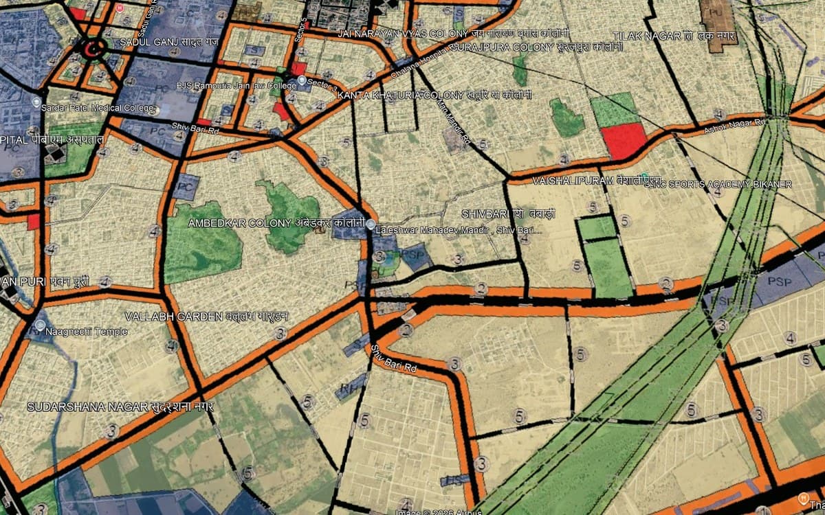
How it was built
- 01
Turn judgement into signals
Each plot is scored against an explicit signal set — access, land use, infrastructure trajectory, holding cost, risk exposure — answered on a three-state scale. Nothing is hidden in a model: the questionnaire is the model.
- 02
Score, then commit to a verdict
Signals roll up into a 0–100 score that maps to one of four verdicts — hold, build, liquidate, review — each shown with the score bar that produced it and a timing window rather than a vague recommendation.
- 03
Keep every answer inspectable
Every card exposes the inputs behind its verdict, a forward-looking note on what would change it, and a link to the plot on the map. A decision you cannot interrogate a year later is not a decision, it is a guess with a user interface.
What this builds on
Archive: land_guidance/Land_Decision_Engine.html